Project Type - View Streets
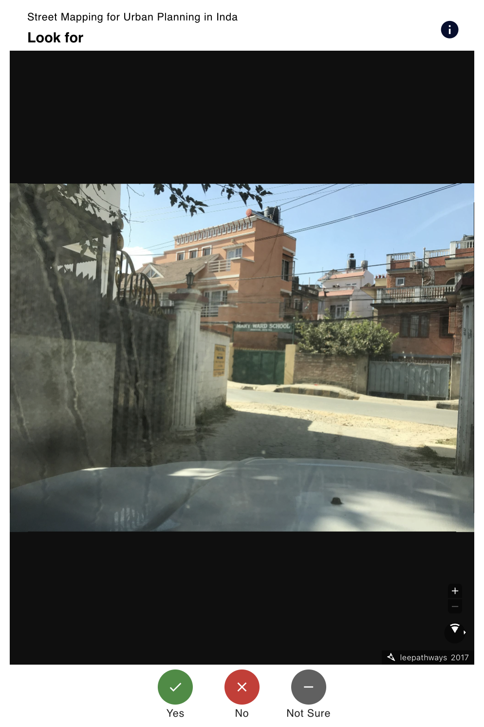
An imagery version of the Validate Footprint project type where users can look for a specific feature (set by the project managers) in a set of Mapillary images.
View Streets projects have projectType = 7.
Project
The View Streets project type takes an AOI geometry as an input and returns corresponding Mapillary images to MapSwipe.
In addition to the common project fields documented in the data model, View Streets projects carry the following project-type-specific fields:
| Parameter | Type | Description |
|---|---|---|
| customOptions | list (optional) | Custom answer options shown to the contributor (each with a value, title, description, icon, iconColor, and optional sub-options). |
| numberOfGroups | int | Total number of groups generated for the project. |
Group
View Streets groups have no project-type-specific fields beyond the common group fields. Each group is identified by:
| Parameter | Type | Description |
|---|---|---|
| groupId | string | ID of the group. |
Task
The task payload is a Base64-encoded, GZIP-compressed string; clients decode and decompress it before rendering. Note that for View Streets the underlying taskId is an int rather than a string.
| Parameter | Type | Description |
|---|---|---|
| taskId | int | ID of the task (integer for View Streets). |
| groupId | string | ID of the group the task belongs to. |
Result
Results follow the common result shape, with results: dict[str, int] keyed by taskId. The integer values come from each custom option’s value defined on the project, since answers are given via custom options set by the project creator.
When the project creator does not supply customOptions, the backend falls back to the following defaults:
| Value | Title | Description |
|---|---|---|
0 | No | The object you are looking for is NOT in the image. |
1 | Yes | The object you are looking for is in the image. |
2 | Not Sure | You’re not sure or there is bad imagery. |